Bike and Hike Münchner Hausberge
Overview
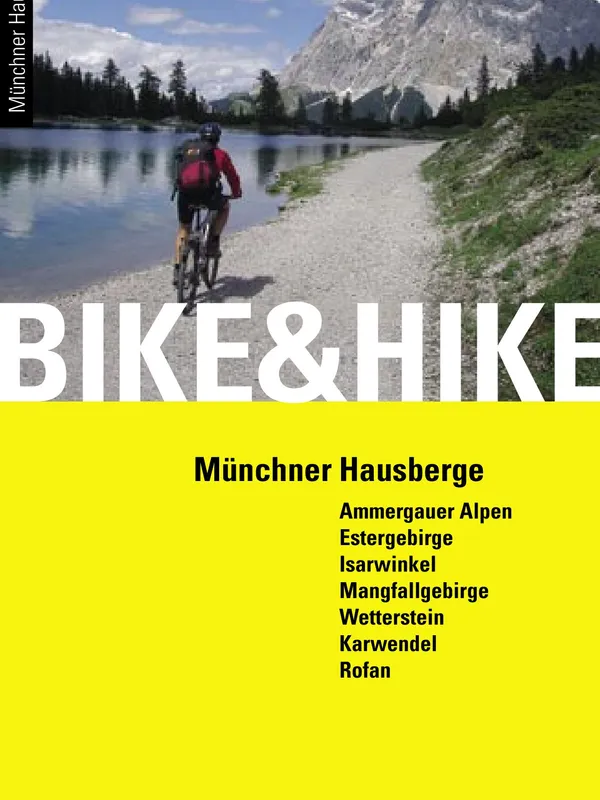
Bike & Hike Munich’s Home Mountains is a focused guide to 50 classic “ride-to-the-alm, hike-to-the-summit” days around the Bavarian–Tyrolean frontier. Doris and Thomas Neumayr lean into a simple, time‑saving idea: use the bike to dispatch long approach roads, then switch to boots for airy ridge paths and panoramic tops. Clear writing, crisp photography, and a pragmatic tone make the concept feel both accessible and motivating.
Coverage and structure
The routes are organized by massif, each section prefaced with local context and natural history. Destinations include:
- Ammergauer Alpen
- Estergebirge
- Isarwinkel
- Mangfallgebirge
- Wetterstein & Mieminger Gruppe
- Karwendel
- Rofan/Brandenberger Alpen
Each tour follows a consistent template: access and start point, character, step‑by‑step bike and hike descriptions, a compact map excerpt, an elevation profile, and a “tour en bloc” panel summarizing difficulty, vertical gain split between bike and hike, and total time. Symbols for seasonality, public transport options, and safety notes aid quick filtering. The authors reference regional MTB access agreements—reassuring for riders who want to stay on the right side of local rules.
Trail and route quality
This is not a technical singletrack compendium; most bike legs follow paved lanes or forest roads to huts and pastures, trading flowy descents for efficiency and scenery. The hiking portions range from mellow meadow ridges to steeper, occasionally exposed grass-and-rock paths; grading and time estimates are realistic, and the elevation profiles help with pacing. Map snippets are readable for on‑route confirmation, though dedicated navigators may still prefer pairing the guide with a high‑detail map or GPS.
Strengths and caveats
- Strengths: coherent “bike first, hike high” structure; clear separation of bike vs. hike metrics; evocative photos; thoughtful local notes (e.g., hut info, cultural highlights).
- Caveats: no GPX downloads; mapping is small‑format; access, hut hours, and transport links evolve—users should check current conditions.
Recommendation
For fit riders who prize summit experiences over technical riding—and for Munich‑based day trippers seeking efficient, legal approaches—this guide is an engaging, well‑organized companion. It’s best paired with up‑to‑date maps or GPS, but the route curation and presentation are excellent.
Details
Extract- Activity
- Mountain Biking
- Authors
- Doris & Thomas Neumayr
- Pages
- 244
- ISBN
- 978-3-95611-040-5
- Publisher
- Panico Alpinverlag