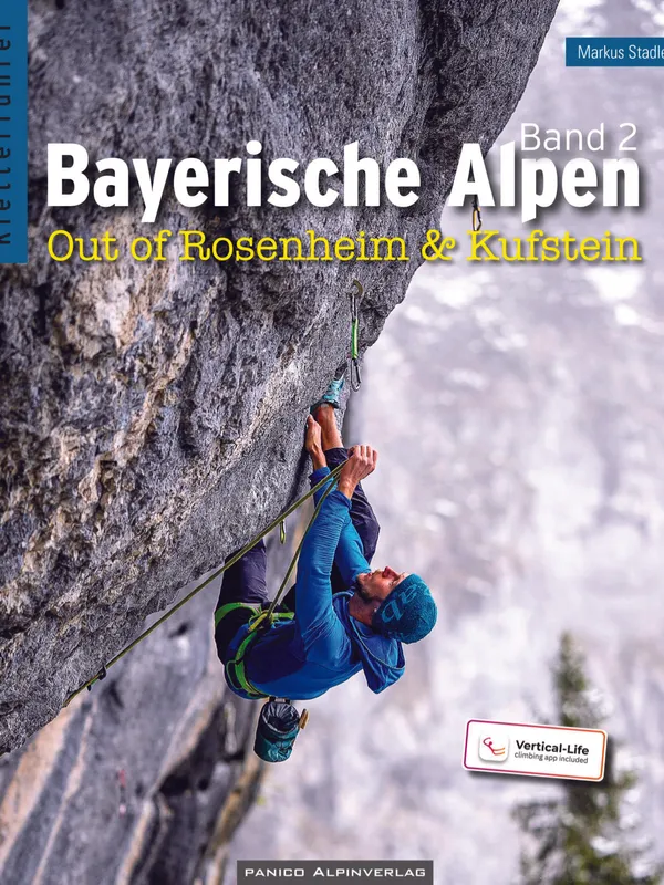
Kletterführer Bayerische Alpen Band 2
Scope and coverage
This comprehensive sport-climbing guide spans the northern fringe of the Alps between Rosenheim and Kufstein, reaching into the western Chiemgau Alps, the Bavarian Prealps, and the Kaisergebirge. The 2025 third edition maps both marquee venues and local favorites, blending multi-pitch and well-bolted cragging with a dash of bouldering. Headline areas include:
- Wendelstein & Sudelfeld: Bixlwand, Gschwandt, Kaserer Wand, Ameisenwandl, Löchelwand, Mitteralm, Blockwelt.
- Unterinntal West/East: Flintsbach, Luegsteinwand, Weberwand, Spitzstein, Godzillawand, Rock City, Kundl/Backofen, Weigend Süd.
- Kufstein: Geisterschmiedwand, Sparchen, Steingrubenschneid.
- Wilder Kaiser: Achleiten and the famed Schleierwasserfall, plus Gaudeamushütte, Fritz-Pflaum-Hütte, Stripsenjoch.
Structure and usability
The book is organized by five zones (A–E), each introduced with characterful context, access logistics, and clear overview maps. Front-matter covers how to read topos, a grade-conversion table, etiquette, conservation, transport, and regional info. Sector pages are polished: aspect, altitude, sun exposure, protection quality, per-grade route counts, and concise approach descriptions are standard. Cartography and approach diagrams are notably improved; QR codes with coordinates streamline navigation. Access and seasonal sensitivities are handled responsibly (e.g., bird-nesting closures around Godzillawand), aligning with the German Alpine Club’s “Naturverträglich Klettern” principles. A download code unlocks the corresponding Vertical-Life content for three years, usefully pairing paper and app.
On rock, style, and selection
Route descriptions balance brevity and beta. The guide succeeds at sketching each crag’s style: Bixlwand’s compact limestone rewards footwork; Gschwandt favors steep pockets; Kaserer Wand mixes rough, blocky limestone with autumn sun and big Kaiser views; Achleiten blends technical slabs and thin walls; Schleierwasserfall offers the region’s steep testpieces. Multipitch options (Wendelstein Westwand, Soinwand Nordpfeiler) expand beyond single-pitch day cragging. Protection notes are honest (generally good to very good), and cautions about rock quality or helmets appear where warranted.
Who it’s for
Coverage is deepest from mid to upper grades, yet beginners find viable circuits at training-friendly sectors and huts-adjacent crags. Public transport tips (BRB, Wendelstein-Ringlinie), parking guidance, and hut bases (Aiblinger Hütte, Mitteralm) make weekend planning straightforward.
Verdict
A meticulously revised, field-driven reference that captures the region’s breadth and character. For anyone climbing around Rosenheim–Kufstein—from first-time visitors to locals chasing new sectors—this is the go-to guide and an easy recommendation.
Details
Extract- Activity
- Climbing
- Authors
- Markus Stadler
- Weight
- 700g
- Pages
- 512
- ISBN
- 978-3-95611-200-3
- Publisher
- Panico Alpinverlag