Kletterführer Frankenjura Band 1
Scope and coverage
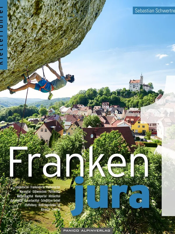
Sebastian Schwertner’s Frankenjura Band 1 remains the definitive English‑friendly reference for sport climbing in northern Bavaria’s pocketed limestone. The 13th edition (2024) catalogs more than 6,500 routes and integrates new development through April 2024. Coverage concentrates on the classic valleys and crags that define the northern Frankenjura, including:
- Leinleitertal, Wiesenttal (multiple sections), Gößweinstein, Püttlachtal
- Weihersbachtal, Klumpertal, Ailsbachtal, Paradiestal, Kaiserbachtal
- Scheßlitzer Gebiete, Staffelberg, Kleinziegenfelder Tal, Bärental, Zillertal
Structure and usability
The book’s organization is exemplary: an orientation spread leads each area, followed by crag‑by‑crag topos with consistent symbology. Approaches are carefully described and double‑checked, then reinforced with GPS coordinates for parking and crags plus QR codes for trailheads—hugely helpful in a maze of farm tracks and forest paths. A three‑year code for the Vertical‑Life app adds searchable topos and geo‑navigation, a welcome bridge between paper and phone.
On-the-rock guidance
For climbers, the criteria that matter are well met:
- Topo clarity: clean line drawings with numbered routes and logical sectoring; aspect is stated for sun/shade planning.
- Grades and protection: modern sport grades, bolt and anchor information, and pragmatic notes where spacing or rock quality demand attention.
- Route variety: from family‑friendly slabs and 5s at venues like Freudenhaus and Neuhauser Wand to high‑end testpieces on Luisenwand or Rotenstein, plus historical context that name‑checks milestones and first ascensionists.
Environmental and access notes
A substantial front section outlines local geology and ecology, current restrictions, and “10 rules for nature‑friendly climbing.” The guide carries the German Alpine Club’s “naturverträglich Klettern” seal, and access messages are repeated where seasonal closures apply—useful in a region where bird protection is taken seriously.
Production values and audience
Panico’s photography brings the walls to life without cluttering the layouts, and mapping is clear enough for visiting teams unfamiliar with the terrain. The balance of meticulous detail and quick‑scan info makes this equally effective for a first Frankenjura trip or a veteran’s ticklist update.
Verdict
A carefully researched, field‑tested guide that blends precise navigation, readable topos, and up‑to‑date development. If you’re planning sport climbing in the northern Frankenjura, this is the book to carry—and the app to activate.
Details
Extract- Activity
- Climbing
- Authors
- Sebastian Schwertner
- Weight
- 1100g
- Pages
- 608
- ISBN
- 978-395611-188-4
- Publisher
- Panico Alpinverlag