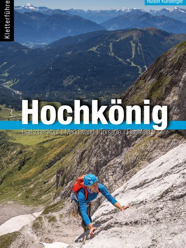
Kletterführer Hochkönig
Scope and structure
This long‑awaited dedicated guide to the Hochkönig finally gathers the massif’s major walls and satellite towers into one coherent volume. After concise front matter on how to use the guide, grading, protection standards, and gear, the book divides the area into six logical sectors: Erichhütte, Hochkönig, Wetterwand, Mandlwand, Torsäule, and the Imlauer Gebirge. Each sector opens with access, bases (huts and valley towns), aspect and rock notes, followed by large photo-topos, pitch‑by‑pitch descriptions, descent/abseil options, and a clean route register. Excerpts of Alpenverein map 10/2 are embedded for orientation, and there’s a code for a substantial e‑book—handy when you’re traveling light.
Coverage highlights
- Big walls and long alpine lines on the Großer Bratschenkopf (up to 1,500 m, e.g., Himmelhoch, 6) and the famed Hochkönig Südwand, mixing classic and modern routes (from Dientner Weg, 6+, to testpieces like Steile Meile, 9+).
- Mandlwand ridges and towers with the “NEWS” traverses and short, technical set pieces such as Melkerplattl (7+).
- The Torsäule, densely topos’d, where modern, well‑protected multi‑pitch climbs from 6 to 9 dominate alongside historical lines and a striking north‑face option.
- Around the Erichhütte, newly developed dolomite towers (Geistlingerspitze, Kochmannspitze, Küh‑Berger‑Spitze) offer afternoon sun, quick‑drying rock, and fresh routes in the 6–8 range.
- A nod to local essentials such as the Königsjodler via ferrata and the serious Birgkar descent warnings gives the book real‑world credibility.
For climbers: what stands out
- Topos are crisp and consistent, with clear belays, bolt symbols, and logical color coding; overview photos make complex buttresses legible at a glance.
- Pitch descriptions are unusually granular (beta‑heavy); great for success on committing routes, though purists may prefer to skim to preserve the onsight.
- Seriousness is flagged (E‑ratings), with specific rack notes, escape options, abseil pistes, and seasonal/aspect advice—vital for Hochkönig’s weather and rock variety (dolomite and Dachstein limestone).
- Practicalities are strong: public‑transport approaches, hut details, and webcams are referenced, making logistics smoother for visiting teams.
Verdict
Meticulous, visually authoritative, and refreshingly complete, this guide restores the Hochkönig to its rightful place among the Alps’ premier alpine rock venues. It’s ideal for teams climbing IV to IX who want everything from big, historic undertakings to modern, well‑bolted multi‑pitch routes—plus the planning tools to tackle them safely. Highly recommended.
Details
Extract- Activity
- Climbing
- Authors
- Rudi Kühberger lebt inmitten dieser Berge und kennt sie wie kaum ein Anderer. Mit Akribie und Begeisterung hat er über viele Jahre die Informationen und Übersichtsfotos zu den mehr als 220 Zielen dieses Skiführers zusammengetragen und damit eine eindrucksvolle Bestandsaufnahme der Skitourenmöglichkeiten der Region geschaffen. Gebietsneulinge finden in diesem Buch alle Toptouren zwischen Lofer, Bischofshofen, St. Johann und Abtenau und sogar Einheimische und Gebietskenner werden wahrscheinlich das ein oder andere Schmankerl entdecken, das ihnen bisher noch unbekannt war.
- Weight
- 800g
- Pages
- 488
- ISBN
- 978-3-95611-164-8
- Publisher
- Panico Alpinverlag