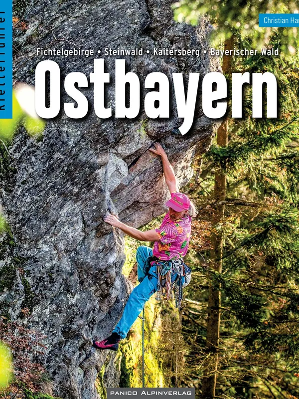
Kletterführer Ostbayern
Scope and focus
Christian Hartl’s East Bavaria climbing guide gathers an impressively broad swath of crags between Hof and Passau, bringing together four distinct granite and gneiss provinces:
- Fichtelgebirge
- Steinwald
- Kaitersberg
- Bayerischer Wald (with subregions around Viechtach, Zwiesel/Bodenmais, Grafenau, and Passau)
The spread ranges from low, family-friendly blocks to 30–40 m walls, with a grade distribution that genuinely serves mixed parties.
Structure and usability
The book opens with clear, practical chapters on using the guide, safety and rescue, geology, conservation and ethics, access, accommodation, and off-day ideas. Each area then follows a consistent pattern: locator maps, public transport and driving options, sun/aspect, seasonality, and a succinct hut/camping list. To thepos are crisp line drawings (with route numbers matching text lists), and gear notes flag when a line is clean and needs nuts/cams versus modern glue-ins/bolts. A rear “Felsregister” acts as a quick finder for wall height, aspect, route count, and grades; an overview map and grade comparison sit on the flaps. A bundled Vertical-Life app code adds searchable, georeferenced topos for three years—handy for wayfinding.
Climbing character and coverage quality
Expect rough granite/gneiss with rounded breaks, slopers and crystals, occasional superb edges, and relatively few pure cracks—technique and footwork matter. The guide is candid about lesser-traveled faces that moss up and about hot-weather friction; aspect icons make chasing shade or sun straightforward. Kaitersberg’s classics sit alongside quieter venues like Treppenstein, Kreuzfelsen, Riesenblock, and newer Zwiesel/Bodenmais sectors, giving real variety in angle and style.
What’s notably new
The 3rd edition expands the Bayerischer Wald significantly, publishing long-local crags on the Hennenkobel (e.g., “Dahoam is dahoam” and “Weg um die Felsen”) after 2021–2024 rebolting and access work—one of the book’s key contributions. Historical and regional context sections add welcome depth.
Minor caveats
Public transport is feasible only for some sectors; many approaches remain easier by car or train-plus-bike. A few trad-protected routes will suit confident leaders comfortable with nuts and cams.
Recommendation
A thorough, field-ready granite guide that balances breadth with clear topos and thoughtful access notes. Ideal for visitors seeking a quieter alternative to the Frankenjura and for locals wanting a single reference from Fichtelgebirge to the Passau outskirts. Strongly recommended for sport and mixed-protection climbers planning a multi-area Bavarian road trip.
Details
Extract- Activity
- Climbing
- Authors
- Christian Hartl
- Weight
- 775g
- Pages
- 512
- ISBN
- 978-3-95611-149-5
- Publisher
- Panico Alpinverlag