Eiskletterführer Bregenz bis Garmisch
Overview
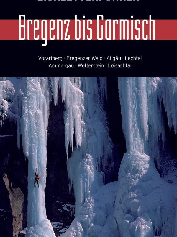
Eiskletterführer Bregenz bis Garmisch is a richly illustrated, full-color ice and mixed climbing guide to the Northern Limestone Alps between Lake Constance and Garmisch-Partenkirchen. Compiled by a collective of local specialists and published by Panico Alpinverlag, it blends classic waterfall ice with modern drytooling and longer alpine winter routes—a spectrum that mirrors how the sport is actually practiced in this region.
Coverage and structure
The book is organized geographically, moving west to east through:
- Vorarlberg (Rheintal, Walgau, Brandnertal, Montafon, Klostertal, Lech-Zug)
- Bregenzer Wald (e.g., Rotenbachfälle, Hochgletscheralpfälle)
- Allgäu around Oberstdorf (Gaisalpe, Oytal, Gerstruben, Stillachtal, Kleinwalsertal, Hindelang)
- Pfronten and Tannheimer Tal
- Lechtal (Hornbachtal to Holzgau)
- Ammergau and Wetterstein (Garmisch, Hammersbach, Zugspitzgebiet, Ehrwald)
- Karwendel (Scharnitz, Mittenwald, Rißtal, Sylvensteinsee)
- Walchenseeberge/Estergebirge (Loisachtal, Jochberg)
Each subarea opens with an overview map and logistics, then route entries with length, pitch breakdowns, WI/M grades, aspect, approach and descent notes, and hazards.
On the ice: selection and detail
Route variety is a standout: from approachable WI2–3 cascades like Gasthausfall to serious objectives such as the Eisseefälle in the Oytal, including testpieces up to WI7 and mixed lines to M7+. Descriptions flag whether skis or snowshoes help, typical conditions, and where steeper variants branch off. The safety chapter is candid about alpine winter risks—icefall, spindrift, and especially avalanche exposure—encouraging realistic self-assessment and preparation.
Maps, topos, and usability
Clear overview maps and a consistent topo legend make it easy to parse sectors and link objectives. Photo-topos are generally informative rather than glossy; the editors explicitly prioritize wayfinding over picture-perfect imagery. Practical touches—parking cues, time estimates, typical descent options (including tree anchors for rappels), and aspect—support on-the-day decision-making. As with any ice guide, conditions are ephemeral, so pairing the book with up-to-date avalanche and access info is prudent.
Who it’s for
- Ambitious beginners seeking well-described WI3 outings.
- Intermediates looking to progress on longer WI4–5 routes.
- Experienced leaders interested in mixed terrain and bigger alpine lines.
Verdict
Comprehensive, field-tested, and grounded in local knowledge, this guide is an excellent companion for winter climbers roaming from Vorarlberg to Garmisch. Its breadth of venues, honest safety guidance, and readable topos make it a strong pick for planning and executing rewarding ice and mixed days across the region.
Details
Extract- Activity
- Ice Climbing
- Weight
- 580g
- Pages
- 420
- ISBN
- 978-3-936740-93-6
- Publisher
- Panico Alpinverlag