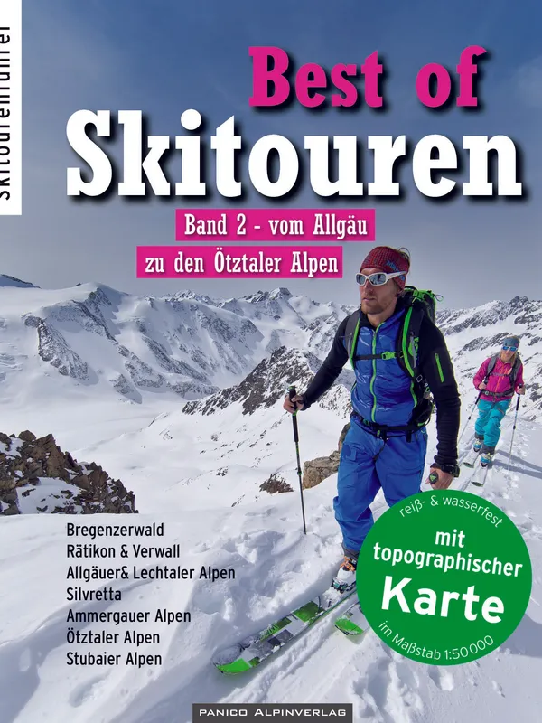
Best of Skitouren Band 2
Scope and structure
This compact “best of” ski-touring guide curates 50 rewarding objectives between the Allgäu foothills and the Ötztal glaciers. Each mountain is presented with two variants—an accessible “standard tour” and a more ambitious alternative—so mixed‑ability teams and changing conditions are built into the planning. Clear, readable chapters open with how to use the guide, sources, and low‑impact touring. For every route you get concise text plus planning data (elevation gain, time, slope angles, aspect, difficulty on the L/WS/ZS/S scale, occasional UIAA notes), supported by route lines on photos and a clean topo sketch. A separate tear‑ and water‑resistant 1:50,000 map with all tours drawn provides a practical overview and ties neatly into the DAV ski-touring map series.
Coverage and highlights
The selection spans:
- Bregenzerwald: Siplinger Kopf, Kanisfluh, Hochkünzelspitze.
- Rätikon & Verwall: Sulzfluh traverse, Kaltenberg, Hoher Riffler.
- Allgäu: Nagelfluhkette, Großer Daumen, Hinterstein classics.
- Lechtal: Galtjoch, Namloser Wetterspitze, Feuerspitze.
- Silvretta: Piz Buin, Silvrettahorn, Augstenspitze.
- Ammergau & Wetterstein: Scheinbergspitze, Alpspitze.
- Ötztal: Wildspitze, Weißkugel, Weißseespitze.
- Stubai: Zwieselbacher Roßkogel, Kalkkögel mini‑traverse from Axamer Lizum.
A multi‑author team (including Jan Piepenstock, Kristian Rath, and others) strikes a good balance between crowd‑pleasers like Wildspitze and quieter, characterful tours such as Hinterstein rounds or the Kalkkögel traverse.
For ski tourers
As a planning tool, the guide excels: pictogram summaries, aspect and gradient at a glance, and back‑of‑book tables that compare all tours by height gain, grade, and exposure. Route overlays on photos are particularly helpful for reading complex terrain (e.g., Silvretta approaches, Axamer Lizum rims). Avalanche remarks and access notes (buses, lift logistics, hut options) show on‑the‑ground experience. The 1:50,000 map is robust for the field; for intricate navigation or whiteout, pairing it with large‑scale AV maps or GPS is sensible.
Verdict
A thoughtfully curated, region‑spanning companion for ski tourers who want variety without drowning in options. It’s ideal for a weeklong road trip across the Arlberg–Ötztal–Stubai arc or for locals seeking dependable classics plus a few wilder lines. Strong cartography, honest grading, and practical logistics earn it a firm recommendation.
Details
Extract- Activity
- Ski Touring
- Authors
- Kristian Rath
- Weight
- 670g
- Pages
- 360
- ISBN
- 978-3-95611-041-2
- Publisher
- Panico Alpinverlag