Skitourenführer Karwendel - Rofan - Wetterstein
Scope and structure
This is a comprehensive ski touring guide to the Northern Limestone Alps straddling Tyrol and Bavaria, covering the Rofan/Brandenberger Alpen, the Karwendel (east, north, west and south), the Wetterstein, the Mieminger Kette, plus the Ammergau Alps, Estergebirge and the Isarwinkel around Bad Tölz and Lenggries. Roughly 150 tours are grouped into clearly color-coded regions (A–J), each introduced with access notes, seasonality and map references. The front matter adds how-to-use guidance, a transparent difficulty system (L/WS/ZS/S with +/-), avalanche basics, environmental advice, and options for piste-based tours.
Coverage highlights
The range is impressively broad: gentle family outings like Zwölferkopf, Wank or the Rauthhütte approach; scenic classics above Achensee (Bärenkopf, Seierjoch); longer Karwendel traverses and peaks (Birkkarspitze, Große Seekarspitze, Pleisenspitze); and big-mountain terrain in the Wetterstein and Mieminger Kette (Alpspitze lines, the Zugspitzplatt variants, Grünstein circuit). Many routes start from public-transport hubs (Jenbach, Pertisau, Garmisch-Partenkirchen, Ehrwald), encouraging car-free touring when conditions align.
Information design and mapping
Each route is presented with a consistent fact box: aspect, elevation gain, distance, time, start point, and difficulty. Photo topos and shaded overview maps are crisp, with ascent/descents clearly traced; crucial transitions (cols, ribs, piste exits) are easy to spot. Cross-references to AV/DAV and BEV sheets help with paper navigation, while the included GPS download code adds reliable digital support. The authors also flag practical constraints—like the Falzthurntal toll road typically reopening around early May—which affect access and snow quality.
Field credibility
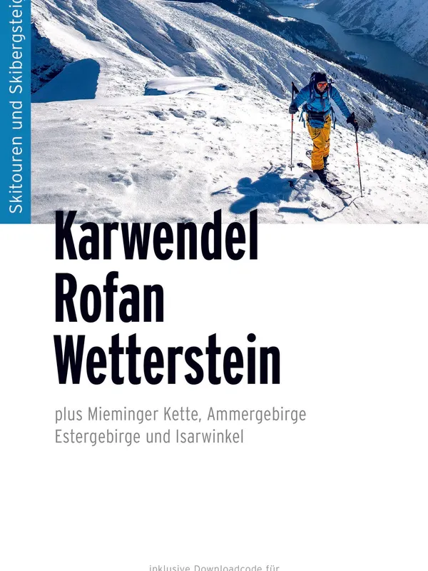
Doris and Thomas Neumayr bring decades of guiding and instruction in the region, and it shows in the route timing, hazard hints, and savvy about timing south-facing terrain in lean-snow years. Photography is purposeful and seasonally honest: expect inspiring but informative images of slope angle and shading rather than mere postcard shots.
Verdict
For skiers planning anything from first forays to ambitious Karwendel reibn days, this guide is a standout. Its regional breadth, clear grading, transit-aware logistics, and modern GPS integration make it one of the most useful, field-ready ski-touring resources for the Karwendel–Wetterstein arc and its Bavarian fringes. Strongly recommended.
Details
Extract- Activity
- Ski Touring
- Authors
- Doris Neumayr, Thomas Neumayr
- Weight
- 290g
- Pages
- 336
- ISBN
- 978-3-95611-176-1
- Publisher
- Panico Alpinverlag