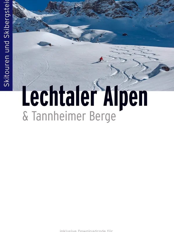
Skitourenführer Lechtaler Alpen
Overview
This is a focused ski-touring guide to Austria’s Lechtal Alps and adjacent Tannheimer Berge—an area known for long valley approaches, snow-sure north aspects, and serious summit terrain. The authors frame the book explicitly as a curated selection for self-reliant, experienced ski tourers rather than an encyclopedic catalog. The tone is pragmatic: many tours are long (up to ~1800 m gain) with delicate summit sections and are best attempted in prime conditions.
Coverage and structure
The guide is arranged by logical touring hubs and valleys, each with access, base options, and recommended maps:
- From the Lechtal into the Allgäu Alps; Hinterhornbach; Lechtal → Lechtal Alps; Kaisers; Gramais; Bschlabs–Boden; Namlos–Kelmen; Berwang–Rinnen–Reutte; Fernpass; Lechtal Alps South Side; Tannheimer Berge; Lermoos–Lähn. Within each chapter, route lists are tabulated with elevation gain, difficulty (L/WS/ZS/S scale and variants), aspect, distance, and page reference. Overview maps and photo topos clarify approaches and key descent lines; select pages show annotated photos with ascent/exit lines. Front matter covers how to use the guide, route descriptions, grading, avalanche hazard, weather and bulletins, line selection, timing, gear, and GPS data. There’s also a welcome section on wildlife-friendly touring.
On-snow usefulness
For ski touring, the book succeeds where it matters:
- Route variety: from classic objectives (e.g., Holzgauer Wetterspitze, Ruitelspitze, Namloser Wetterspitze) to quieter alternatives (Karleskopf, Mittelbergkopf loop).
- Decision-making aids: consistent difficulty grading, slope aspects, clear indication of long “Zustieg” sections, and timing recommendations.
- Mapping: strong integration with DAV and Austrian 1:25,000 sheets, plus chapter map overviews.
- Safety: dedicated chapters on avalanche danger and bulletins; environmentally conscious guidance.
- Logistics: concise notes on access, accommodation bases, and winter road closures for remote valleys (e.g., Namlos/Kelmen).
Limitations: beginners will find relatively few suitable options; many tours demand fitness and stable conditions, and the reliance on external maps rewards those comfortable navigating with 1:25,000 cartography.
Verdict
A well-judged, field-ready selection guide that captures the character of the Lechtal Alps: long, aesthetic climbs to big, often serious descents. With GPS downloads, clear photo topos, and robust safety chapters, it’s easy to recommend to competent ski tourers and skialpinists planning a winter or spring campaign in this underappreciated corner of the Northern Limestone Alps.
Details
Extract- Activity
- Ski Touring
- Authors
- Dieter Elsner, Michael Seifert
- Weight
- 600g
- Pages
- 284
- ISBN
- 978-3-95611-162-4
- Publisher
- Panico Alpinverlag