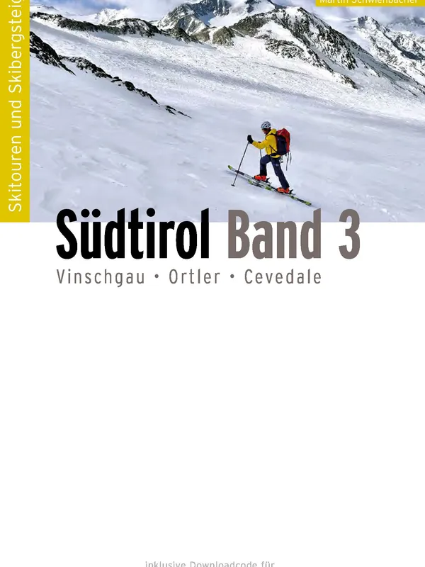
Skitourenführer - Südtirol Band 3 - Vinschgau, Ortler, Cevedale
Scope and focus
This is a dedicated ski-touring atlas for Western South Tyrol, spanning the Ortler Alps, the upper Vinschgau/Val Venosta, and the Sarntal Alps. The coverage is impressively broad: 20 subregions from Pflerschtal and Ridnaun to Ulten, Martelltal, Sulden–Trafoi–Stelvio, Langtauferer Tal, Schnalstal, and the Passeier valleys. Objectives range from friendly meadow tours (e.g., Stoanerne Mandln) to serious high-alpine classics on glaciated 3000ers including Cevedale, Königsspitze, Weißkugel, Similaun, and Ortler.
Structure and usability
Panico’s house style is used to strong effect. The book is organized by valleys and starting points, with practical notes for access by car and public transport—valuable in South Tyrol’s unusually good bus network. Each route entry includes:
- clear difficulty grading, slope aspects, distance, vertical gain, and time
- concise, sequential ascent/descent descriptions
- planning photos and abundant aerial imagery with drawn route lines
- hut and base information when relevant A brief front matter explains grading, timing, avalanche resources, weather, and emergency procedures. GPS tracks are provided via a download code, and routes are cross‑referenced to Tabacco 1:25,000 maps.
Quality and distinctiveness
The standout here is breadth paired with clarity. Aerials with traced lines make complex glacier approaches (e.g., around Cevedale or the Weißkugel area) far easier to visualize than text or topo alone. The difficulty scale and slope aspect callouts are consistent, and the “from the valley” starting philosophy is honest about the effort while keeping logistics simple. Compared to the long gap since the classic Ortler guide, this fills what has been near a descriptive void with a modern, skier‑centric presentation. The emphasis on ÖPNV access and nature‑friendly touring is timely.
For whom, and caveats
- Beginners will appreciate the many WS/L‑graded tours in the Sarntal and around Ratschings/Jaufen.
- Strong parties get a deep bench of long, glaciated objectives in the Ortler and Ötztal border ranges.
- The guide assumes sound avalanche judgment; glacier itineraries still require crevasse kit and experience despite the helpful imagery and GPS.
Verdict
Comprehensive, current, and visually authoritative, this atlas is an excellent primary reference for a South Tyrol ski trip. Pair it with the cited Tabacco sheets and the included GPS tracks, and you have a well‑rounded planning toolkit from meadow tours to major alpine summits. Highly recommended.
Details
Extract- Activity
- Ski Touring
- Authors
- Jan Piepenstock, Martin Schwienbacher
- Weight
- 450g
- Pages
- 432
- ISBN
- 978-3-95611-159-4
- Publisher
- Panico Alpinverlag